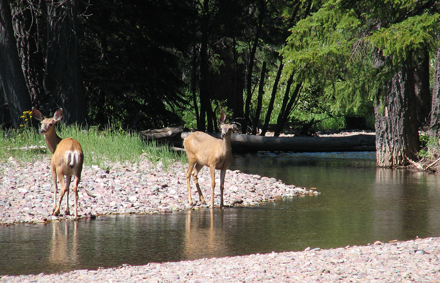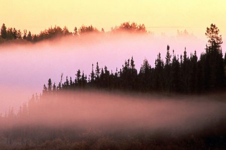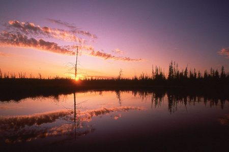

With gentle foothills unfolding into lush boreal forests, Otauwau is an island of wilderness surrounded by industrial development, providing essential habitat for many wildlife species.
- •
- •
- •
- Introduction
- Features
- Concerns
- History
- Other Areas
AWA believes that Otauwau requires thoughtful management and protection so these landscapes will provide vital habitat for many of Alberta’s iconic wildlife species including grizzly bears.
AWA’s Otauwau Area of Concern is a diverse landscape located within the Swan Hills of central Alberta. Directly south from Lesser Slave Lake Provincial Park, Otauwau is 877 km2 and is part of the Foothills and Boreal Forest Natural Regions. Otauwau is an amalgamation of different vegetative communities and contains a tremendous amount of biological diversity; wildlife depends on the Otauwau’s wilderness in the midst of increasing industrial and commercial developments on the surrounding landscapes. Without formal protection or science-based management, AWA believes land uses including oil and gas exploration and motorized recreation will further jeopardize this important landscape.
Status
With the exception of Grizzly Ridge Wildland Provincial Par, which was designated in 1998 under the Special Areas Process and is 107km2 in size, the landscapes of Otauwau are unprotected public lands that have experienced a considerable amount of oil and gas development and unmanaged motorized recreation.
Management
Currently, there is no formal management framework for Otauwau, but once completed, this area will fall within the Upper Athabasca Regional Plan under the Land-use Framework. Through the Land Use Framework, the Government of Alberta has committed to “addressing cumulative impacts on the environment and to managing social, economic and environmental realities and priorities in a holistic manner” (Alberta Parks 2018). Grizzly Ridge Wildland Provincial Park is managed under the legislation of the Provincial Parks Act with intent to: “To preserve and protect natural heritage and provide opportunities for compatible backcountry recreation” (Alberta Parks 2001).
Protected Areas
The Grizzly Ridge Wildlands Provincial Park is the sole protected area within Otauwau, and is managed under the Provincial Parks Act, with intentions to: “preserve natural heritage of provincial significance or higher, while supporting outdoor recreation, heritage tourism, and natural heritage appreciation activities that depend upon and are compatible with environmental protection” (Alberta Parks 2001).
Public Lands
The entirety of Otauwau is situated within the Green Zone of Alberta (forested portion), where public land is managed for recreation, natural resources, and ecological goods and services. This area has minimal public settlements and permits industrial and forestry developments. Agricultural activities are generally excluded from the Green Area with the exception of grazing leases. Management and administration of public lands within Alberta is largely overseen by provincial regulatory bodies such as the Alberta Energy Regulator and the departments of Alberta Environment and Parks, Alberta Energy, and Alberta Agriculture and Forestry. Public land dispositions are regulated under multiple pieces of legislation that includes, but is not limited to, the Public Lands Act, Public Lands Administration Regulation Recreational Access Regulations, and the Environmental Protection and Enhancement Act (Alberta 2014).
Vision
AWA believes that the Otauwau must be protected from inappropriate land uses, which would include the expansion of Grizzly Ridge Wildland Provincial Park to contain this entire Area of Concern. In the interim, it is imperative to restrict any future industrial exploration and forms of public recreation that are not compatible in sustaining the health and longevity of Otauwau’s pristine landscapes and watersheds.
Area
AWA’s Otauwau Area of Concern is approximately 877 km2 in size and is located south of Lesser Slave Lake. It can be accessed from Highway 2 southeast of the town of Slave Lake and north of the town of Swan Hills.
AWA’s Otauwau Area of Concern: JPG PDF MAP: © AWA
Watershed
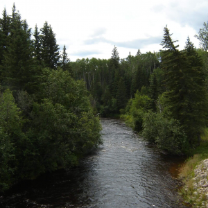
Otauwau’s watersheds belong to the Athabasca River Basin, with Otauwau Lake being the largest body of water within the Otauwau wilderness in addition to a number of small lakes, rivers, ponds and peatlands. Major streams which have their source within the Grizzly Ridge Wildland Park include Sawridge, Adams, Mooney and Island Creek.
Geology
The Otauwau area is located within the Swan Hills, which includes topographical features such as discontinuous plateaus with glacial deposits and heavily dissected colluvial slopes. This area is underlain with bedrock from the late epoch of the Cretaceous period ( 65-136 million years old) to the Paleocene epoch of the Tertiary period( 66 to 56 million years old). The Wapiti Formation is the predominant geological formation and includes shales, sandstones, siltstones, mudstone, conglomerates, coal seams and benonite beds. Most of the upland soils are generally Orthic or Gleyed Grey Luvisols which developed in a glacial till or from cobbly gravel of Tertiary period. Soils within the lowlands are derived from peatlands due to minimal water drainage, and are generally low in organic matter.
Environmentally Significant Areas
Otauwau is a critical piece of Alberta’s Foothills Natural Region with many lower altitude areas transitioning into Central Mixedwood. As this landscape represents a transition between two Natural Regions, it is imperative to protect as it supports and connects wildlife populations. Currently, the Grizzly Ridge Wildland Park is the sole protected area within these public lands.
The Grizzly Ridge Wildland Park
Information sourced from the Alberta Government
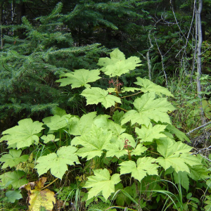
The Grizzly Ridge Wildland Park, which is 107km2 in size, is the only area within AWA’s Otauwau Area of Concern that has formal protection. This area is characterized by mineral wetlands and springs that contour a west-facing escarpment with a small lake near the park’s southeast border. The top of the ridge is carpeted with large coniferous forests stands that include white spruce, balsam fir, jack pine, balsam poplar, and white birch. Mountain ash, Devil’s club and elder are some uncommon plant species found within the area. The headwaters of Sawridge, Adams and Mooney creeks are also located within the park.
 Otauwau contains areas which are provincially significant. JPG PDF MAP: © AWA
Natural Region
The majority of Otauwau is comprised of the Lower Foothills, with a smaller western segment consisting of the Upper Foothills Natural Subregion. A far northern portion of the Otauwau wilderness is representative of the Central Mixedwood Natural Subregion.
Natural Subregions of Otauwau JPG PDF MAP: © AWA
Vegetation
Foothills Natural Region
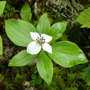
Upper Foothills: Mixed coniferous stands dominate this area and normally consist of lodgepole pine, white spruce, black spruce and balsam fir. The shrub communities that occupy the understory of these stands are composed of Labrador tea, raspberry, and bunchberry in addition to thick feathermosses such as red-stemmed feathermoss, splendid feathermoss and knight’s plume that carpet the forest floor.
Lower Foothills: White spruce and aspen mixed forests dominate this region with muskeg forests of black spruce in poorly drained areas. Common shrubs and herb species include sedge, buckbean, cottongrass, scheuchzeria, bunchberry, green alder, and reed grass. Species common to moss communities consisted of warnstorfia moss and streetside sphagnum.
Boreal Forest Natural Region
Central Mixedwood: This subregion is defined by mixed forest stands of deciduous and coniferous trees containing mostly aspen, white spruce, and jack pine. The understory species common to this area are low-bush cranberry, prickly rose, and green alder accompanies by herbs such as showy aster, wild sarsaparilla and hairy wild rye.
Wildlife
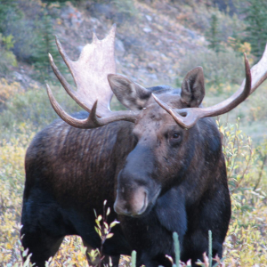
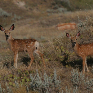
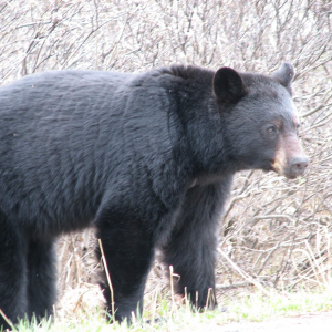
The landscapes of Otauwau provide rich habitat for a number mammal speciesincluding black bears, wolves, coyotes, moose and mule deer. Common bird species found within Otauwau are red-breasted nuthatch, golden-crowned kinglet, Swainson’s thrush, and Tennessee warbler.
Grizzly bears
The Otauwau wilderness supports grizzly bear populations however, historic and current industrial exploitations have caused populations to decline, and therein, have contributed to the species’ provincial status of threatened. Almost all of Otauwau’s landscapes are located within the “Recovery Zone” of the government management area for threatened grizzly bear populations. The Recovery Zone is designated habitat that exists with the intent to support the recovery of the species by placing limits on linear disturbances and protecting core habitat (Government of Alberta 2016).
Activities
Otauwau is used for a number of recreation opportunities, including backcountry hiking, fishing, hunting, geocaching, and random camping. Currently the use of motorized vehicles is permitted within the park on designated trails, with any off-trail use being prohibited.
Lack of Protection
Considering the severe underrepresentation of the Foothills Natural Region within Alberta’s protected areas network and the threatened status of resident grizzly bear populations, the Otauwau is in need of increased protection and management. Protecting Otauwau offers an opportunity to increase the representation of Upper and Lower Foothills Subregions within Alberta’s protected network, while simultaneously supporting wildlife that depend on this wilderness for habitat.
In the interim, focus must be placed on reducing the footprint of industrial development and motorized recreation on the landscape. These efforts would include a science-based approach that would facilitate the re-growth of previously disturbed landscapes, minimize new surface disturbances, and set disturbance thresholds for surrounding landscapes.
Oil and gas
A significant portion of the Otauwau has already been explored for Alberta’s oil and gas development, with industrial features such as seismic lines, wellsites, and commercial roads interspersed throughout. AWA believes the priority for Otauwau is reducing or eliminating any new petroleum developments in order to conserve this unique ensemble of vegetative communities and the wildlife species they support. Rehabilitation efforts should also be initiated for previously disturbed areas. Increased protection combined with better management will allow the Otauwau wilderness to persist for generations to come.
Off-Highway Vehicle Use
The boundaries of the Otauwau have been subjected to a significant amount of surface disturbance because of Off-Highway Vehicles (OHVs). While designated trails for motorized recreation exist within the park, a significant amount of off-trail use occurs within the park and within AWA’s Otauwau Area of Concern. The illegal off-trail use of motorized vehicles is concerning because the forests and wetlands that comprise the Otauwau wilderness are sensitive in nature due to the susceptibly of their soil profiles. Water erosion is a common ecological response within these regions and requires thoughtful management when considering appropriate land uses. Motorized recreation has been shown to reduce or eliminate vegetation cover and cause soil compaction, with both of which result in soil erosion and water sedimentation (Farr et al 2017). In addition to the negative ecological effects, OHVs recreation also has the capacity to disturb wildlife which ultimately results in habitat avoidance. AWA believes that motorized recreation is not a compatible land use for the Otauwau wilderness as it compromises the ecological integrity of this sensitive landscape, and further contributes to habitat degradation and fragmentation. AWA reiterates the need for a management plan that helps control and restrict prohibited off trail use of motorized vehicles within Otauwau.
1998
Grizzly Ridge Wildlands Provincial Park is designated under the Special Places Process.
