Fifteen Years of OHV Damage in the Bighorn Backcountry
April 17, 2023
- •
- •
- •
Wild Lands Advocate article by: Sean Nichols and Phillip Meintzer
Click here for a pdf version of the article.
Off-highway vehicle (OHV) trails in the Bighorn backcountry are poorly designed and inappropriately located for the preservation of native species and ecosystems in the area, according to the results of long-term monitoring in the area.
In 2003, spurred on by a new management plan that — for the first time — allowed the use of OHVs in the beloved Bighorn backcountry, AWA embarked on what would become one of its longest-running research projects. The Bighorn Wildland Recreational Trail Monitoring Program (BWRMP) was envisioned as a comprehensive monitoring program that would assess the implementation of the government’s management plan by considering how well the regulations protected the sensitive ecosystems of the Bighorn. The BWRMP was launched in 2004 and ended up running for 15 years, with the last of the data being collected in 2019. AWA is in the process of publishing a new report on the findings of this study, but the highlights are summarized here for readers of the Wild Lands Advocate.
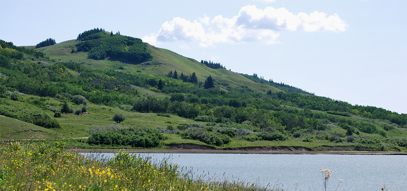
AWA focused our monitoring on the Hummingbird Area of the Upper Clearwater/Ram Public Land Use Zone (PLUZ). We chose this area because it was the largest OHV trail system established in the 2002 Bighorn Backcountry Access Management Plan (AMP). This PLUZ is located within the Prime Protection Zone which had been previously identified in the 1984 Eastern Slopes Policy, and therefore explicitly contravened the intentions of that policy by tolerating OHV recreation in the area. AWA surveyed the trail network for impacts from recreation, including direct damage to the trail and/or surrounding vegetation, impacts at water crossings, campsites, and on secondary (or non-designated trails).
During the initial survey period conducted between 2003 and 2005, we monitored approximately 76 kilometres of designated trails and found 453 sites of concern, with damaged trail sections accounting for nearly 20 percent of the surveyed trail network. Overall, we found roughly one erosion event for every 600 metres of trail within the surveyed trail network. From 2012 to 2017, we monitored roughly 96 km in total within our focus area, recording 646 instances of trail damage. The majority of this damage consisted of direct damage to the trail, braiding, the presence of secondary trails, water crossings, and stewardship attempts. The number of damage sites and total length of damaged trail increased significantly between the initial survey and the 2012 to 2017 period.
Increased precipitation events, like those that occurred in 2012 and 2013, exacerbated OHV damage by softening the soil, reducing its strength and increasing the likelihood of erosion. Given future climate change scenarios, extreme weather events — such as flash flooding from rainfall — are expected to become more frequent. This will likely mean a compounding effect of continued trail deterioration unless steps are taken to rehabilitate existing damage and prevent future harm.
While most OHV users generally appeared to respect trail closures, there was evidence of ongoing illegal trail use, suggesting that any potential recovery was likely being inhibited. Since recovery from OHV damage can take years and trails that have been closed can continue to erode, the responsible managers should consider a more hands-on approach to restoration through the closure of trail portions and erecting physical barriers to access.
Given the evidence from the recorded data, it is clear that this landscape is unsuitable for recreational OHV use, which was foreseen by the 1984 Eastern Slopes Policy. Having the PLUZ regulations in place to protect the sensitive ecosystem values only works so far as those regulations are enforced, and appropriate protection and/or recovery measures are taken to maintain ecological integrity in the region — such as trail closures and site rehabilitation. The evidence clearly demonstrates that the existence of a motorized vehicle trail network is having detrimental effects on the landscape.
AWA’s primary findings of this study is that the overall condition of the Bighorn’s Hummingbird Area trail system has significantly declined since the initiation of our monitoring program in 2004. Comparisons across years indicate that the majority of sites surveyed have deteriorated in condition, providing concrete evidence that this area cannot tolerate continued OHV traffic while maintaining ecological integrity. The two are incompatible.
The Bighorn trail network, as it stands, is inappropriately sited, inappropriately designed, and offers insufficient protection for native species. Its presence is a violation of the intent of the Bighorn Backcountry Access Management Plan and the PLUZ regulations. Allowing OHV recreation to continue at the current levels is wholly inconsistent with the vision of the Prime Protection Zone designation under the Eastern Slopes Policy. Furthermore, it is inconsistent with the views of many Albertans who wish to see this area’s wilderness and natural values prioritized and protected for current and future generations.